Advertisement
Latest Version (Download)Table of Contents
Advertisement
Information
| Package | pl.amistad.treespot.rdlp_radom |
| Version | 1.0.1 |
| Date Updated | 2021-04-22 |
| Size | 12.64 MB |
| Installs | 0 |
| Categories | , |
Screenshots


Description
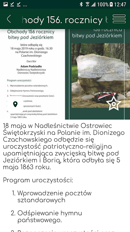
W ramach projektu „Las historii. Czy wiesz, że?” na stronie internetowej i w aplikacji mobilnej zawarte zostały informacje o miejscach pamięci narodowej oraz innych miejscach wartych odwiedzenia na terenie 23 nadleśnictw Regionalnej Dyrekcji Lasów Państwowych w Radomiu, położonych w obrębie województwa świętokrzyskiego i południowej części Mazowsza. W regionie tym nie ma nadleśnictwa, na którego terenie nie byłoby kilkunastu, kilkudziesięciu obiektów upamiętniających wydarzenia, których świadkami były lasy. Razem na terenie RDLP w Radomiu jest ich ponad 400. Wśród nich są cmentarze, mogiły, pomniki, krzyże i inne obiekty z okresu powstania styczniowego, I i II wojen światowych, okresu powojennego, a także postacie zasłużone, a także inne miejsca ważne z punktu widzenia wydarzeń historycznych.
Miejsca pamięci pochodzą z różnych okresów czasu. Generalne mówiąc związane są z walkami o niepodległość, choć pojedyncze wydarzenia dokumentują i inne sytuacje. np. wojny szwedzkie. Nie ma też reguł co do ich rozmieszczenia. Np. okres I wojny światowej dokumentują cmentarze położone głównie w północnej części (nadleśnictwa Dobieszyn, Kozienice, Zwoleń) oraz południowej (nadleśnictwa Kielce, Jędrzejów). Okres powstania styczniowego dokumentują obeliski i pomniki rozmieszczone we wszystkich nadleśnictwach. To samo dotyczy okresu II wojny światowej. Nie ma prawie upamiętnionych miejsc z okresu powstania listopadowego, gdyż na tym terenie rozegranych bitew było bardzo mało.
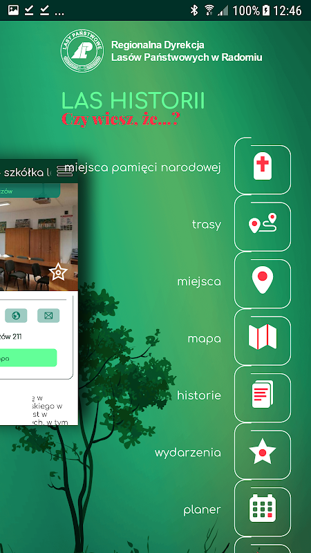
Projekt prezentuje też walory przyrodnicze i kulturowe terenu RDLP w Radomiu oraz infrastrukturę turystyczną i dotyczącą edukacji leśnej. Zachęcamy do odwiedzenia także innych miejsc takich, które są warte odwiedzenia, takich jak ośrodki i izby edukacji, zielone klasy, miejsca postoju, miejsca odpoczynku, miejsca na ognisko, obiekty przyrodnicze, dziedzictwo kulturowe, siedziby leśne i inne obiekty. W aplikacji znalazły się także ścieżki edukacyjne, szlaki piesze, ścieżki rowerowe, trasy nordic walking, trasy konne, narciarstwa biegowego i inne trasy przydatne dla turystów.
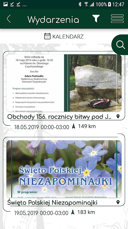
Aby ułatwić odnalezienie interesujących miejsc, baza obiektów podzielona została na kategorie, a miejsca pamięci dodatkowo na kategorie czasowe. Strona i aplikacja zawierają ponadto historie związane z miejscami pamięci narodowej oraz wydarzenia związane z nimi. Pełną bazę punktów i tras można obejrzeć na mapie. Z poziomu mapy można też przejść do szczegółów wybranego obiektu. Podkłady OpenStreetMap dostępne są offline. Mobilny przewodnik pełni ponadto rolę komunikatora pomiędzy turystami i leśnikami – użytkownik może zgłosić np. nielegalne wysypisko śmieci, pożar oraz informowany jest o najważniejszych wydarzeniach w okolicy. Ciekawą funkcję stanowi możliwość dodania propozycji miejsca do ujęcia w projekcie i przesłania jej do serwisu.
Widoczne na mapie obiekty liniowe i punktowe (szlaki itd.) kończą się na granicy zarządu nadleśnictw. Aplikacja sfinansowana została ze środków własnych Lasów Państwowych.
As part of the Forest of History project. Do you know that? "On the website and in the mobile application contains information about places of national remembrance and other places worth visiting in 23 districts of the Regional Directorate of State Forests in Radom, located within the Świętokrzyskie Province and the southern part of Mazovia. In this region there is no forest inspectorate, on whose territory there would be a dozen or so dozens of objects commemorating the events witnessed by forests. Together, there are over 400 of them in the RDSF in Radom. Among them there are cemeteries, graves, monuments, crosses and other objects from the January Uprising, World Wars I and II, the post-war period, well-deserved figures, and other places important from the point of view. seeing historical events.
Places of memory come from different periods of time. Generally speaking, they are connected with the struggles for independence, although individual events document and other situations. e.g. Swedish wars. There are also no rules for their deployment. For example, the period of the First World War documents cemeteries located mainly in the northern part (forest districts Dobieszyn, Kozienice, Zwoleń) and southern cemeteries (Kielce and Jędrzejów Forest Districts). The period of the January Uprising is documented by obelisks and monuments placed in all districts. The same applies to the period of World War II. There are almost no commemorated places from the period of the November Uprising, as there were very few battles in this area.
The project also presents natural and cultural values of the RDSF area in Radom as well as tourism infrastructure and forest education infrastructure. We also encourage you to visit other places that are worth visiting, such as educational centers and chambers, green classes, stopping places, resting places, campsites, natural objects, cultural heritage, forest headquarters and other facilities. The application also includes educational paths, hiking trails, bicycle paths, Nordic walking routes, horse trails, cross-country skiing and other routes useful for tourists.
In order to make it easier to find interesting places, the base of the objects has been divided into categories, and the places of memory are additionally divided into time categories. The site and application also contain stories related to national memorial sites and related events. The full database of points and routes can be viewed on the map. From the map level you can also go to the details of the selected object. OpenStreetMap primers are available offline. The mobile guide also acts as a communicator between tourists and foresters - the user can report, for example, illegal garbage dump, fire and is informed about the most important events in the area. An interesting feature is the ability to add a place proposal for inclusion in the project and send it to the site.
Line and point objects (routes, etc.) visible on the map end at the border of the management of forest inspectorates. The application was financed from the own resources of the State Forests.
What's New
Latest Version (Download)
Las historii 1.0.1Date Updated : 2021-04-22
Advertisement
