Advertisement
Latest Version (Download)Table of Contents
Advertisement
Information
| Package | com.marinetraffic.iais |
| Version | 2.2.17 |
| Date Updated | 2021-11-05 |
| Size | 45.31 MB |
| Installs | 6.1K+ |
| Categories | , |
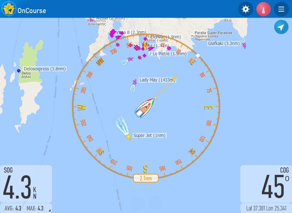
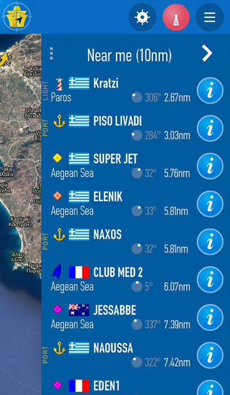
Screenshots


Description
OnCourse เป็นพายเรือแล่นเรือใบและการนำความช่วยเหลือใหม่จาก MarineTraffic (mais)
Improve your experience at sea with OnCourse, the new boating and sailing navigation aid from MarineTraffic, the global leader in vessel tracking.
OnCourse helps you stay aware of the traffic around you, plan your voyages, while sharing your position with your friends and loved ones through the MarineTraffic Live Map. Also, you can engage with the boaters’ community and have fun with the new exciting Virtual Reality feature.
Increase your awareness while sailing
- Plan and monitor your voyage*
- Calculate the optimal route*
- Add your own customisable waypoints to the map
- Collision detection & avoidance while sailing, with AIS
- Additional information during sailing (time to next waypoint, next ETA, final ETA, distance & bearing to waypoint)
Share your position on MarineTraffic.com and engage with the boaters’ community
- Report your own position even if your boat is not equipped with an AIS transponder, so that your friends and family can follow you in near real-time
- Track a particular boat in a race or keep in touch with friends’ boats whilst cruising
- Identify other vessels that are sailing in the area (provided that they transmit their positions)
- Upload photos of your boat for all the community to see
Have fun!
- Recognise vessels by using the Augmented Reality tool*
- Try out the new Virtual Reality feature and watch everything from a different perspective (requires a VR headset)*
Very low data and battery consumption
All standard units of measurement supported
(*) Available only with OnCourse Plus subscriptions
Note: OnCourse is not AIS, OnCourse simulates the data transmitted by AIS transponders; however, it only transmits data through the Internet and not over AIS radio-frequencies. The information transmitted by OnCourse is not visible by the AIS receivers of other vessels. It will only be displayed on the MarineTraffic website and apps. As such, OnCourse is a self-reporting tool that does not substitute AIS transmissions and it is not, by any means, related to the safety and navigation equipment of a vessel.
Intended use
Provided that Internet connectivity is available, the vessel's positions will start being reported once the OnCourse application is launched on your mobile device. Note that the positions will continue being reported even if the app is running in the background! It is important to be used only when the device is on board a vessel and it must be turned off whenever the device leaves the vessel!
How to use OnCourse - Registration Required
Registration for a MarineTraffic account is required in order to start reporting your position through the application. The details of the vessel (such as vessel's name, call-sign, dimensions, destination, ETA, etc) must be also configured when using the app.
Email notifications
In order to avoid unwanted position reporting, MarineTraffic will send e-mail notifications at your registered email address, whenever your app is active. This serves as a reminder that position reporting should only be active when you are at sea and must be turned off when on land.
Disclaimer
This application is to be used for informational reasons and as navigation assistance. This is not a substitute for the good seamanship practices, the onboard navigation and safety instruments required by applicable regulations.
Continued use of GPS running in the background can decrease battery life.
ปรับปรุงประสบการณ์ของคุณในทะเลกับ OnCourse การล่องเรือและแล่นเรือใบช่วยนำทางใหม่จาก MarineTraffic ผู้นำระดับโลกในการติดตามเรือ
OnCourse ช่วยให้คุณตระหนักถึงการจราจรรอบ ๆ ตัวคุณวางแผนการเดินทางของคุณในขณะที่การแบ่งปันตำแหน่งของคุณกับเพื่อนของคุณและคนที่รักผ่าน MarineTraffic แผนที่ Live นอกจากนี้คุณยังสามารถมีส่วนร่วมกับชุมชนชาวและมีความสนุกสนานกับคุณลักษณะความจริงเสมือนใหม่ที่น่าตื่นเต้น
เพิ่มการรับรู้ของคุณในขณะแล่นเรือใบ
- การวางแผนและการตรวจสอบการเดินทางของคุณ *
- คำนวณเส้นทางที่ดีที่สุด *
- เพิ่มจุดปรับแต่งของคุณเองเพื่อแผนที่
- ตรวจสอบการชนและการหลีกเลี่ยงในขณะที่แล่นเรือใบกับเอไอเอส
- ข้อมูลเพิ่มเติมในระหว่างการล่องเรือ (เวลาที่จะ waypoint ต่อไปกทพ. ต่อไปกทพสุดท้ายระยะและแบริ่งจะ Waypoint)
แบ่งปันตำแหน่งของคุณบน MarineTraffic.com และมีส่วนร่วมกับชุมชนชาว
- รายงานตำแหน่งของคุณเองแม้ว่าเรือของคุณไม่ได้ติดตั้งดาวเทียมเอไอเอสเพื่อให้เพื่อน ๆ และครอบครัวของคุณสามารถทำตามที่คุณในใกล้เวลาจริง
- ติดตามเรือโดยเฉพาะอย่างยิ่งในการแข่งขันหรือให้ติดต่อกับเรือของเพื่อนในขณะที่ล่องเรือ
- ระบุเรืออื่น ๆ ที่มีการล่องเรือในพื้นที่ (ในกรณีที่พวกเขาส่งตำแหน่งของพวกเขา)
- อัปโหลดภาพถ่ายของเรือของคุณสำหรับทุกชุมชนเพื่อดู
มีความสุข!
- ยอมรับเรือโดยใช้เครื่องมือเพิ่มความเป็นจริง *
- ลองใช้คุณลักษณะความเป็นจริงเสมือนใหม่และดูทุกอย่างจากมุมมองที่แตกต่างกัน (ต้องใช้ชุดหูฟัง VR) *
ข้อมูลที่ต่ำมากและการใช้พลังงานแบตเตอรี่
ทุกหน่วยวัดมาตรฐานของการสนับสนุน
(*) มีเฉพาะ OnCourse พลัสการสมัครสมาชิก
หมายเหตุ: OnCourse ไม่ได้เป็นเอไอเอส OnCourse จำลองข้อมูลที่ส่งจากดาวเทียมเอไอเอส; แต่ก็เพียงส่งข้อมูลผ่านทางอินเทอร์เน็ตและเอไอเอสไม่เกินวิทยุความถี่ ข้อมูลที่ส่งมาจาก OnCourse ไม่สามารถมองเห็นโดยเอไอเอสรับของเรืออื่น ๆ มันจะแสดงเฉพาะบนเว็บไซต์ MarineTraffic และปพลิเคชัน เช่น OnCourse เป็นเครื่องมือการรายงานตนเองที่ไม่ได้ทดแทนการส่งสัญญาณเอไอเอสและมันไม่ได้โดยวิธีการใด ๆ ที่เกี่ยวข้องกับความปลอดภัยและการนำอุปกรณ์เรือ
วัตถุประสงค์การใช้งาน
โดยมีเงื่อนไขว่าการเชื่อมต่ออินเทอร์เน็ตที่มีอยู่ในตำแหน่งของเรือจะเริ่มรายงานเมื่อแอปพลิเค OnCourse จะเปิดตัวบนอุปกรณ์มือถือของคุณ โปรดทราบว่าตำแหน่งที่จะยังคงมีการรายงานแม้ว่า app ทำงานในพื้นหลัง! มันเป็นสิ่งสำคัญที่จะนำมาใช้เฉพาะเมื่ออุปกรณ์อยู่บนเรือและมันจะต้องถูกปิดเมื่อใดก็ตามที่อุปกรณ์เรือใบ!
วิธีการใช้ OnCourse - ต้องลงทะเบียน
การลงทะเบียนสำหรับบัญชี MarineTraffic เป็นสิ่งจำเป็นเพื่อที่จะเริ่มต้นการรายงานตำแหน่งของคุณผ่านการประยุกต์ใช้ รายละเอียดของเรือ (เช่นชื่อเรือโทรเข้าสู่ระบบขนาดปลายทางการทางพิเศษแห่งประเทศไทย ฯลฯ ) ต้องกำหนดค่าเมื่อใช้ app
แจ้งเตือนทางอีเมล
เพื่อหลีกเลี่ยงการรายงานสถานะที่ไม่พึงประสงค์ MarineTraffic จะส่งการแจ้งเตือนทางอีเมล์ที่ลงทะเบียนอีเมล์ของคุณเมื่อใดก็ตามที่แอปของคุณมีการใช้งาน นี้ทำหน้าที่เป็นเตือนว่าการรายงานตำแหน่งควรจะใช้งานเมื่อคุณอยู่ในทะเลและจะต้องเปิดออกเมื่ออยู่บนบก
คำปฏิเสธ
โปรแกรมนี้คือการใช้เหตุผลในการให้ข้อมูลและความช่วยเหลือนำทาง นี้ไม่ได้ใช้แทนสำหรับการปฏิบัติในการเดินเรือดี onboard นำทางและความปลอดภัยเครื่องมือที่จำเป็นตามระเบียบข้อบังคับ
การใช้งานต่อเนื่องของ GPS ทำงานในพื้นหลังสามารถลดแบตเตอรี่
What's New
- Improved map handling
- Improved battery performance
- UI enhancements
- Bug fixes
Latest Version (Download)
OnCourse - boating & sailing 2.2.17Date Updated : 2021-11-05
Advertisement
