Advertisement
Latest Version (Download)Table of Contents
Advertisement
Information
| Package | net.osmand.plus |
| Version | 3.4.8 |
| Date Updated | 2021-02-25 |
| Size | 72.61 MB |
| Installs | 184.7K+ |
| Categories | 애플리케이션, 여행 |
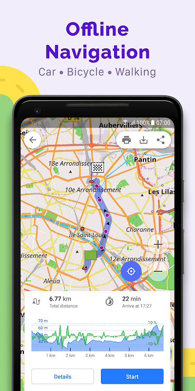
Screenshots


Description
Travel Offline maps, POI, Transit & Navigation based on OpenStreetMap (OSM) data
OsmAnd+ (OSM Automated Navigation Directions) is a map and navigation application with access to the free, worldwide, and high-quality OpenStreetMap (OSM) data. All map data can be stored on your device's memory card for offline use. Via your device's GPS, OsmAnd offers routing, with optical and voice guidance, for car, bike, and pedestrian. All the main functionalities work both online and offline (no internet needed).
OsmAnd+ is the paid application version. By buying it you support the project, fund the development of new features, and receive the latest updates.
Some of the main features:
Navigation • Works online (fast) or offline (no roaming charges when you are abroad) • Turn-by-turn voice guidance (recorded and synthesized voices) • Optional lane guidance, street name display, and estimated time of arrival • Supports intermediate points on your itinerary • Automatic re-routing whenever you deviate from the route • Search for places by address, by type (e.g.: restaurant, hotel, gas station, museum), or by geographical coordinates
Map Viewing • Display your position and orientation on the map • Optionally align the map according to compass or your direction of motion • Save your most important places as Favorites • Display POIs (point of interests) around you • Can display specialized online tile maps • Can display satellite view (from Bing) • Can display different overlays like touring/navigation GPX tracks and additional maps with customizable transparency • Optionally display place names in English, local, or phonetic spelling
Use OpenStreetMap and Wikipedia Data • High quality information from the best collaborative projects of the world • Global maps from OpenStreetMap, available per country or region • Wikipedia POIs, great for sightseeing • Unlimited free download, directly from the app • Always up-to-date maps (updated at least once a month) • Compact offline vector maps • Select between complete map data and just road network (Example: All of Japan is 700 MB, or 200 MB for the road network only) • Also supports online or cached tile maps
Safety Features • Optional automated day/night view switching • Optional speed limit display, with reminder if you exceed it • Optional speed-dependent map zooming • Share your location so that your friends can find you
Bicycle and Pedestrian Features • The maps include foot, hiking, and bike paths, great for outdoor activities • Special routing and display modes for bike and pedestrian • Optional public transport stops (bus, tram, train) including line names • Optional trip recording to local GPX file or online service • Optional speed and altitude display • Display of contour lines and hill-shading (via additional plugin)
Directly Contribute to OpenStreetMap • Report map bugs • Upload GPX tracks to OSM directly from the app • Add POIs and directly upload them to OSM (or later if offline) • Optional trip recording also in background mode (while device is in sleep mode)
OsmAnd is open source and actively being developed. Everyone can contribute to the application by reporting bugs, improving translations, or coding new features. The project is in a lively state of continuous improvement by all these forms of developer and user interaction. The project progress also relies on financial contributions to fund the development, coding, and testing of new functionalities.
Approximate map coverage and quality: • Western Europe: **** • Eastern Europe: *** • Russia: *** • North America: *** • South America: ** • Asia: ** • Japan & Korea: *** • Middle East: ** • Africa: ** • Antarctica: *
Most countries around the globe available as map downloads!
From Afghanistan to Zimbabwe,from Australia to the USA. Argentina, Brazil, Canada, France, Germany, Mexico, UK, Spain, ...OsmAnd + (OSM 자동 탐색 방향)지도 및 탐색 응용 프로그램을 무료로 액세스 할 수있는 세계적으로 높은 품질의 OpenStreetMap의 (OSM) 데이터입니다. 모든지도 데이터를 오프라인으로 사용할 장치의 메모리 카드에 저장할 수 있습니다. 장치의 GPS를 통해, OsmAnd 자동차, 자전거 및 보행자, 광학 및 음성 안내와 함께, 라우팅을 제공합니다. 모든 주요 기능은 온라인과 오프라인 (어떤 인터넷은 필요 없음)을 모두 작동합니다.
OsmAnd +는 유료 응용 프로그램의 버전입니다. 그것을 구입함으로써이 프로젝트를 지원하는 새로운 기능의 개발을 투자하고, 최신 업데이트를받을 수 있습니다.
주요 기능 중 일부 :
항해
• (고속) 또는 오프라인 (아무 로밍 요금 당신이 해외에있을 때) 온라인으로 작동
• 턴 바이 턴 음성 안내 (기록 및 합성 음성)
• 옵션 차선 안내, 거리 이름 표시 및 도착 예정 시간
• 여정의 중간 점을 지원
• 당신이 길에서 벗어날 때마다 재 라우팅 자동
• 주소로 장소 검색, 유형별 (예 : 식당, 호텔, 주유소, 박물관), 또는 지리적 좌표로
지도보기
•지도에 위치와 방향을 표시
• 선택적으로 나침반 또는 운동의 당신의 방향에 따라지도를 정렬
• 즐겨 찾기로 당신의 가장 중요한 장소를 저장
• 당신의 주위에 표시의 POI (관심 지점)
• 전문 온라인 타일지도를 표시 할 수있다
• (빙부터) 위성보기를 표시 할 수있다
• 사용자 정의 투명성 투어링 / 네비게이션 GPX 트랙과 추가지도와 같은 다른 오버레이를 표시 할 수있다
• 선택적으로, 영어, 지역, 또는 발음 철자 장소의 이름을 표시
OpenStreetMap의 위키 백과 데이터를 사용
• 세계 최고의 공동 프로젝트에서 고품질 정보
국가 또는 지역에 따라 사용할 수 OpenStreetMap의에서 • 세계지도,
• 관광에 큰 관심 장소 위키 백과,
직접 응용 프로그램에서 • 무제한 무료 다운로드,
• 항상 최신지도 (적어도 한 달에 한 번 업데이트)
• 컴팩트 오프라인 벡터 맵
• 전체지도 데이터와 단지 도로 네트워크 (예 : 일본의 모든 전용 도로 네트워크 700 MB의 200 MB입니다) 사이의 선택
• 또한, 온라인 또는 캐시 타일 맵을 지원합니다
안전 기능
• 옵션 자동화 된 일 / 야경 전환
당신이 그것을 초과하는 경우에 신호와, 선택적인 속도 제한 표시를 •
• 옵션 속도에 의존하는지도 줌
• 당신의 친구가 당신을 찾을 수 있도록 위치를 공유
자전거 및 보행자 특징
•지도는 야외 활동을위한 큰 발, 하이킹 및 자전거 도로를 포함
• 자전거 및 보행자를위한 특별한 라우팅 및 디스플레이 모드
• 라인의 이름을 포함하여 선택 대중 교통 정류장 (버스, 트램, 기차)
지역 GPX 파일이나 온라인 서비스 • 옵션 여행의 기록
• 옵션 속도와 고도 표시
• 등고선과 언덕 음영 표시 (추가 플러그인을 통해)
직접 OpenStreetMap의에 기여
• 보고서 맵 버그
• 업로드 GPX는 응용 프로그램에서 직접 OSM에 추적
• 관심 장소를 추가하고 직접 OSM에 업로드 (또는 그 이후의 경우 오프라인)
(장치가 절전 모드에있는 동안) 백그라운드 모드도 선택 여행 기록 •
OsmAnd는 오픈 소스이고 적극적으로 개발되고. 모두가 버그를보고 번역을 개선하거나 새로운 기능을 코딩하여 응용 프로그램에 기여할 수 있습니다. 이 프로젝트는 개발자와 사용자의 상호 작용의 모든 형태에 의해 지속적인 개선의 활기찬 상태입니다. 프로젝트 진행 상황은 새로운 기능의 개발, 코딩, 테스트를 투자하는 재정 지원에 의존하고있다.
대략적인지도의 범위와 질 :
• 서유럽 : ****
• 동유럽 : ***
• 러시아 : ***
• 북미 : ***
• 남미 : **
• 아시아 : **
• 일본 & 한국 ***
• 중동 **
• 아프리카 : **
남극 • : *
지도를 다운로드 할 수 전세계 대부분의 국가!
아프가니스탄에서 짐바브웨, 호주에서 미국으로. 아르헨티나, 브라질, 캐나다, 프랑스, 독일, 멕시코, 영국, 스페인, ...
What's New
Changes in 1.7:
!! Download new maps to use new route guidance - New 10 maps available !!
* Completely updated routing (fast and precise)
* New screen with Route Planning (more intuitive and powerful)
* NOTE: GPX route is available in Route Settings
* Auto hide buttons in navigation mode
* Calculate offline route to the first point of GPX route ('pass the whole track' option)
* Active simulation in tunnels
* Lots of small UX improvements & usability fixes
Latest Version (Download)
OsmAnd+ Maps & Navigation 3.4.8Date Updated : 2021-02-25
Advertisement
