Advertisement
Latest Version (Download)Table of Contents
Advertisement
Information
| Package | com.atlogis.australia |
| Version | 2.0.1 |
| Date Updated | 2021-03-17 |
| Size | 6.81 MB |
| Installs | 271 |
| Categories | , |
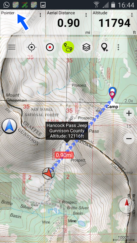
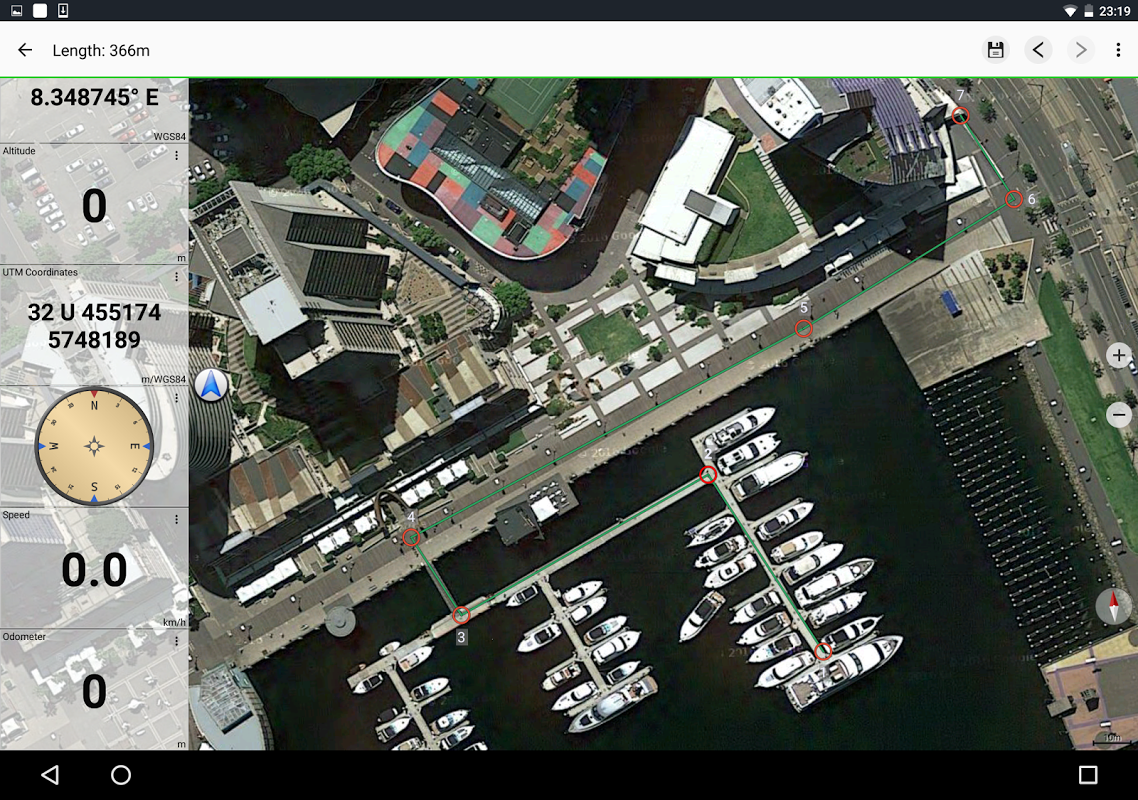
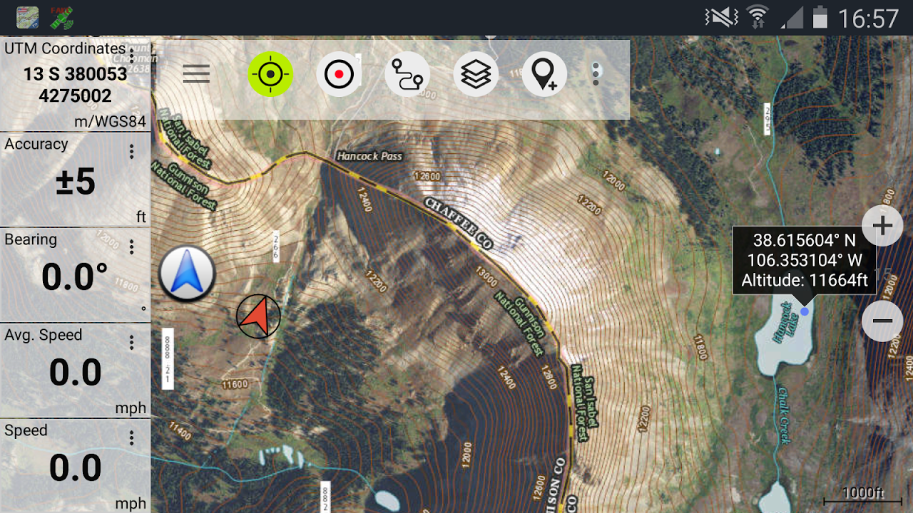
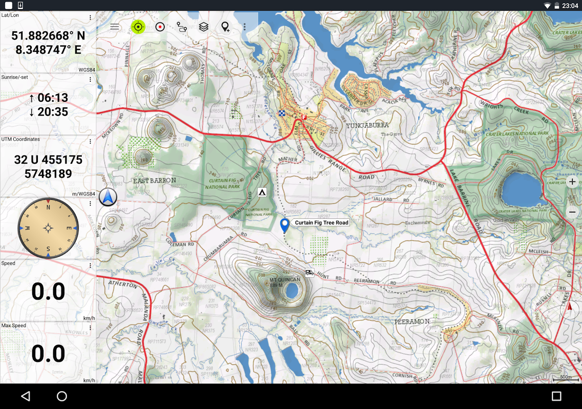
Screenshots


Description
Outdoor navigazione GPS con le migliori mappe e immagini aeree per l\u0026#39;Australia.
Easy to use Outdoor/Offline GPS navigation app with access to the best topographic maps and satellite images for Australia.
++ For offline use PRO features needed ! ++
Turn your Andoid Phone/Tablet into an outdoor GPS for trips into the backcountry WITHOUT CELL COVERAGE. This app gives you similar mapping options as you might know from Garmin or Magellan GPS handhelds.
Included FREE map layers:
• NATMAP 1:250.000 Topo Maps, latest edition, enriched with hillshading and additional placenames !
• Australia Base Map: Seamless national dataset for whole of Australia. Very detailed !
• Queensland Topo Maps: High resolution topographic maps
• New South Wales Maps: High resolution topographic maps (scanned raster & digital) + HiRes Imagery
• Tasmania Maps: High resolution topographic maps + HiRes Imagery
• Northern Territory Atlas
• OpenStreetMaps : These crowdsourced maps are a very useful addition to other map layers. Contains many unique features.
• OpenCycleMaps: These maps are ideal to plan bicycle trips
• Geological Map (for biologists, geologists, miners, ...)
• ESRI Topographic
• ESRI Aerial Images
• ESRI Street Map
• Google Road Map (online access only)
• Google Satellite Images (online access only)
• Google Terrain Map (online access only)
• Bing Road Map (online access only)
• Bing Satellite Images (online access only)
• Earth At Night
• Hillshading overlay
• Transport/Infrastructure overlay
Premium Map layers:
• Victoria 1:25.000
For only 78,99 $ (AUD) you get unlimited access to all 25k Vic topo map sheets (865 maps !) - stitched together to a seamless mosaik (complete coverage) ! Easy to download and offline use ! Single GeoPDF map sheets cost 8,5$ at Vic DELWP office !
• Western Australia 1:25.000 - 1:100.000
For only 154,99 $ (AUD) you get unlimited access to all available 25k,50k and 100k WA topo map sheets (3044 maps!) - stitched together to a seamless mosaik ! Easy to download and offline use ! Single GeoPDF map sheets cost 12,6$ at WA Landgate office !
Main features for outdoor-navigation:
• Create and edit Waypoints
• GoTo-Waypoint-Navigation
• Track Recording (with speed, elevation and accuracy profile)
• Tripmaster with fields for odometer, average speed, bearing, elevation, etc.
• GPX/KML/KMZ Export
• Search (placenames, POIs, streets)
• Customizable datafields in Map View and Tripmaster (e.g. Speed, Distance, Compass, ...)
• Share Waypoints, Tracks or Routes (via eMail, Whatsapp, Dropbox, Facebook, ..)
• Display coordinates in Lat/Lon, UTM or MGRS/USNG (Military Grid/ US National Grid)
• Record & share tracks with statistics & elevation profile
• Rotate map (Track Up & North Up)
• Get Elevation by long click on map
• Track Replay
• and many more ...
Available Pro features: (Pro features available via In App Purchase)
• Offline Use - no cell coverage needed. No Roaming fees !
• Easy+Fast Bulk-download of map tiles for OFFLINE USAGE (not for Google and Bing maps)
• Create and edit Routes
• Route-Navigation (Point-to-Point Navigation)
• GPX/KML/KMZ Import
• unlimited Waypoints & Tracks
• Add other Map Tile-Server
• No Ads
Offline Use:
All viewed map tiles are kept in cache. To cache large areas you need to purchase Pro features.
Use this navigation app for outdoor activities like hiking, biking, camping, climbing, riding, skiing, canoeing, hunting, offroad 4WD tours or search&rescue (SAR).
Add custom waypoints in longitude/latitude, UTM or MGRS/USNG format with WGS84 datum.
Import/Export/Share GPS-Waypoints/Tracks/Routes in GPX or Google Earth KML/KMZ format.
Preload FREE map data for areas without cell service (Pro feature !).
Comments and feature requests to [email protected]
Have a look at our other outdoor navigation apps: https://play.google.com/store/search?q=atlogis
+++ We DO NOT track any user activities or collect any user data ! +++
Facile da usare Outdoor / Offline navigazione GPS app con accesso alle migliori mappe topografiche e immagini satellitari per l'Australia.
++ per l'utilizzo offline funzionalità PRO necessario! ++
Trasforma il tuo telefono Andoid / Tablet in un GPS esterno per i viaggi nel backcountry SENZA COPERTURA CELL. Questa applicazione ti dà simili opzioni di mappatura come si potrebbe sapere da Garmin o Magellan GPS palmari.
Incluso livelli della mappa GRATIS:
• NATMAP 1: 250.000 mappe topografiche, ultima edizione, arricchita con simulazione di illuminazione e toponimi aggiuntivi!
• L'Australia Mappa di base: dataset nazionale senza giunte per tutta l'Australia. Molto dettagliato !
• mappe topografiche Queensland: mappe topografiche ad alta risoluzione
Mappe • Nuovo Galles meridionale: le mappe topografiche ad alta risoluzione (raster scansionata e digitali) + HiRes Imagery
• Mappe Tasmania: le mappe topografiche di alta risoluzione + HiRes Imagery
• Territorio del Nord Atlas
• OpenStreetMaps: Queste mappe crowdsourcing sono un'aggiunta molto utile ad altri livelli della mappa. Contiene molte caratteristiche uniche.
• OpenCycleMaps: Queste mappe sono l'ideale per pianificare i viaggi in bicicletta
• Carta Geologica (per i biologi, geologi, minatori, ...)
• ESRI topografica
• Immagini aeree ESRI
• ESRI Stradario
• Google Road Map (accesso solo online)
• Le immagini satellitari di Google (accesso solo online)
• Google carta geografica del terreno (accesso solo online)
• Bing Road Map (accesso solo online)
• Le immagini satellitari Bing (accesso solo online)
• terra di notte
• sovrapposizione simulazione di illuminazione
• Trasporto / infrastrutture overlay
Mappa strati Premium:
• Victoria 1: 25.000
Per soli 78,99 $ (AUD) si ottiene un accesso illimitato a tutti i 25k Vic topo fogli di mappa (865 mappe!) - cucite insieme ad un Mosaik senza soluzione di continuità (copertura completa)! Facile da scaricare e utilizzo non in linea! GeoPDF fogli di mappa di sola andata costa 8,5 $ presso la sede Vic DELWP!
• Western Australia 1: 25,000-1: 100.000
Per soli 154,99 $ (AUD) si ottiene un accesso illimitato a tutti i 25k a disposizione, 50k e 100k WA topo fogli di mappa (3044 mappe!) - cuciti insieme ad un Mosaik senza soluzione di continuità! Facile da scaricare e utilizzo non in linea! GeoPDF fogli di mappa di sola andata costa 12,6 $ presso la sede WA Landgate!
Caratteristiche principali per esterno-navigazione:
• Creare e modificare waypoint
• GoTo-Waypoint-navigazione
• Track Recording (con velocità, elevazione e l'accuratezza del profilo)
• Tripmaster con campi per contachilometri, velocità media, portante, elevazione, etc.
• GPX / KML / KMZ Export
• Ricerca (toponimi, POI, strade)
• DataFields personalizzabili in mappa e Tripmaster (ad esempio velocità, distanza, bussola, ...)
• Condividi waypoint, tracce o percorsi (via e-mail, WhatsApp, Dropbox, Facebook, ..)
• Visualizzazione coordinate in Lat / Lon, UTM o MGRS / USNG (Military griglia / National Grid US)
• Registrazione e condivisione di tracce con le statistiche e profilo altimetrico
• Ruota mappa (Traccia in alto e Nord in alto)
• Ottenere Elevation di lunga click sulla mappa
• Replay traccia
• e molti altri ...
Disponibile Pro caratteristiche: (Pro caratteristiche disponibili tramite In App Purchase)
• utilizzo non in linea - senza copertura cellulare necessaria. Senza costi di roaming!
• Facile + Fast Bulk-download di piastrelle mappa per ASSENTE USO (non per le mappe Google e Bing)
• Creare e modificare Routes
• Route-navigazione (Point-to-Point di navigazione)
• GPX / KML / KMZ Import
• illimitato Waypoint e tracce
• Aggiungere altra mappa Tile-Server
• Nessuna pubblicità
Utilizzo non in linea:
Tutte le tessere Mappa visualizzata sono tenuti in cache. Per memorizzare nella cache grandi aree è necessario acquistare Pro.
Utilizzare questa applicazione di navigazione per le attività all'aria aperta come il trekking, mountain bike, campeggio, arrampicata, equitazione, sci, canoa, caccia, tour 4WD fuoristrada o ricerca e salvataggio (SAR).
Aggiungere waypoint personalizzate in longitudine / latitudine, UTM o in formato MGRS / USNG con datum WGS84.
Importa / Esporta / Condividi GPS-Waypoint / camminate / Itinerari formato GPX o KML di Google Earth / KMZ.
Precaricare i dati mappa gratuita per le aree senza servizio cellulare (funzione Pro!).
Commenti e richieste per nuove caratteristiche [email protected]
Dai un'occhiata alle nostre altre applicazioni di navigazione outdoor: https://play.google.com/store/search?q=atlogis
+++ Noi NON monitorare qualsiasi attività degli utenti o raccogliere dati utente! +++
What's New
• Improvements & Fixes
Latest Version (Download)
Australia Topo Maps 2.0.1Date Updated : 2021-03-17
Advertisement
